01
Cagliari neighbourhoods + food
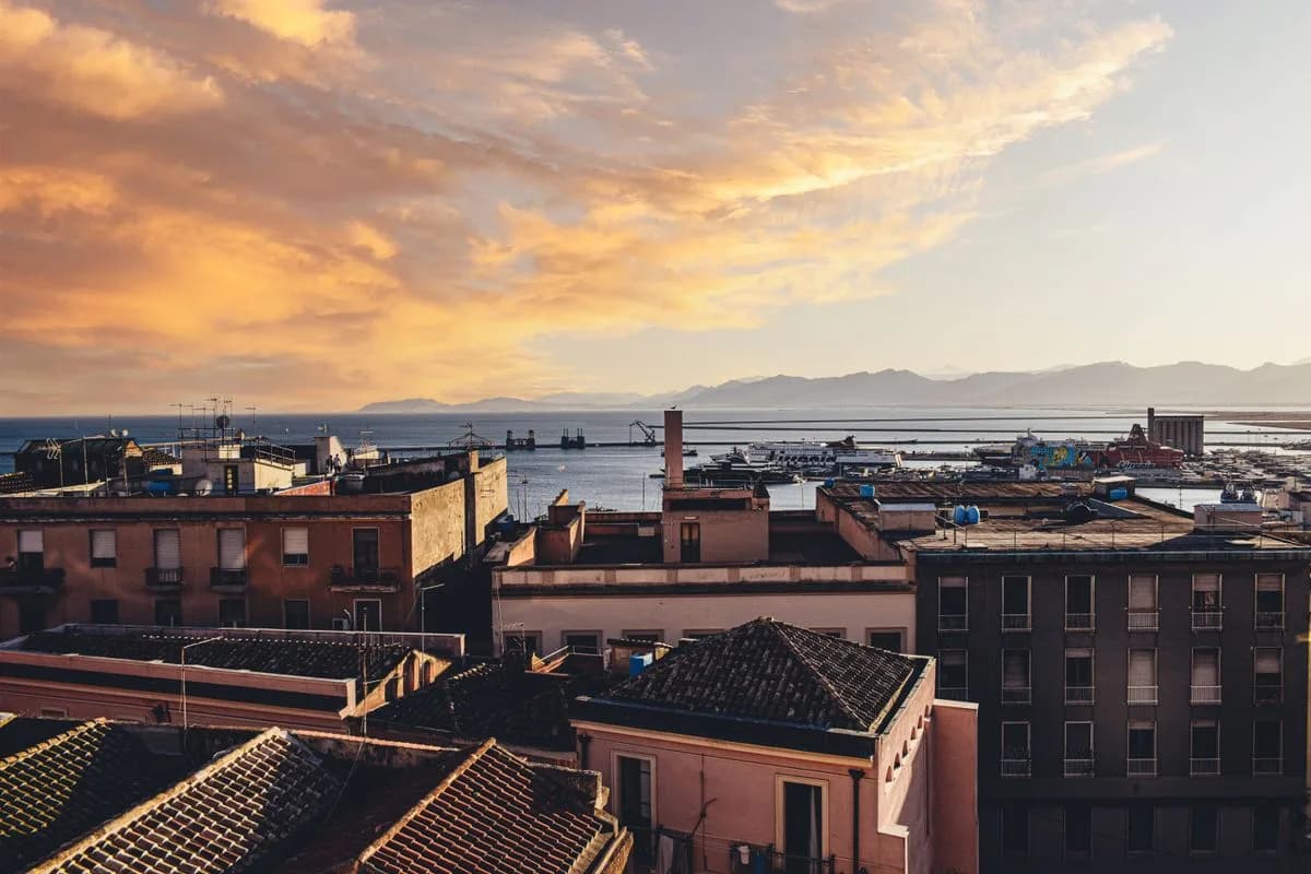
Use the city as the experience: historic quarters, markets/food and an easy evening without transport pressure.
culturefood

The easiest car-light option: city life, restaurants and culture with beaches and excursions still within reach.
This region is strongest when your priorities line up with the experience on the ground. The goal is not to send everyone everywhere.
These are anchors, not a checklist. A good trip leaves time to stay put.
Use the city as the experience: historic quarters, markets/food and an easy evening without transport pressure.
Pair an uncomplicated beach day with dinner and nightlife back in Cagliari.
Combine archaeology with a relaxed coastal town day south-west of the city.
Choose an organised coastal or sea day when you want more scenery without managing every transfer yourself.
Keep the day flexible for museums, cafés, shopping or another beach according to energy and weather.
Start slowly and make a long lunch or evening food experience the main event.
Explore the coast and hinterland. Your itinerary chooses places around your base, interests and available transport.
Historic hilltop quarter at the centre of a culture-and-food day in Cagliari.
Show on map →Cagliari’s long urban beach, easy to combine with a city evening.
Show on map →Archaeological site on the coast near Pula, suited to a culture-and-sea day.
Show on map →Relaxed south-coast town and useful base for Nora and nearby beaches.
Show on map →Central restaurant-and-evening district close to the port and historic centre.
Show on map →Wetlands and former saltworks between Cagliari and Quartu, with important waterbird habitats.
Show on map →A limestone headland with trails and views across Poetto and the Gulf of Cagliari.
Show on map →A sanctuary and basilica on Cagliari’s Bonaria hill, overlooking the waterfront.
Show on map →Cagliari’s hilltop museum complex brings together archaeology, painting and other collections.
Show on map →A village of murals, orchards and the artistic legacy of Pinuccio Sciola.
Show on map →A broad sandy beach backed by dunes in Chia, with a small offshore islet.
Show on map →A sandy bay facing an islet between Capo Malfatano and Capo Spartivento.
Show on map →A south-western coastal landscape of pale sand, dunes, pinewoods and lagoons.
Show on map →An island town with Phoenician-Punic archaeology and a basilica above ancient catacombs.
Show on map →San Pietro’s harbour town preserves Tabarchino language and distinctive tuna-based food traditions.
Show on map →A whitewashed harbour town at the northern end of Sant’Antioco island.
Show on map →A former cliffside mineral-loading facility facing the sea stack of Pan di Zucchero.
Show on map →Mining heritage and a coastal outlook above the ruins of the Lamarmora ore washery.
Show on map →A historic mining town with medieval streets and the cathedral of Santa Chiara.
Show on map →A hilltop Phoenician-Punic settlement overlooking the Sulcis landscape near Carbonia.
Show on map →Former mine buildings in Carbonia tell the story of coal extraction and miners’ lives.
Show on map →Limestone caves near Santadi known for intricate aragonite formations.
Show on map →A Roman sanctuary with earlier Punic roots in a valley near Fluminimaggiore.
Show on map →An open Costa Verde beach bordered by an extensive system of wind-shaped dunes.
Show on map →A former mining settlement with industrial buildings in the hills around Guspini and Arbus.
Show on map →Start with the right base, sort transport, then reserve only the experiences that genuinely need it.