beach
Porto Giunco
Long pale beach beside the Notteri lagoon near Villasimius.
beacheasyfamily
A practical place layer for the trip: beaches, towns, culture and departure points. Save favourites on this device, then use them while planning.
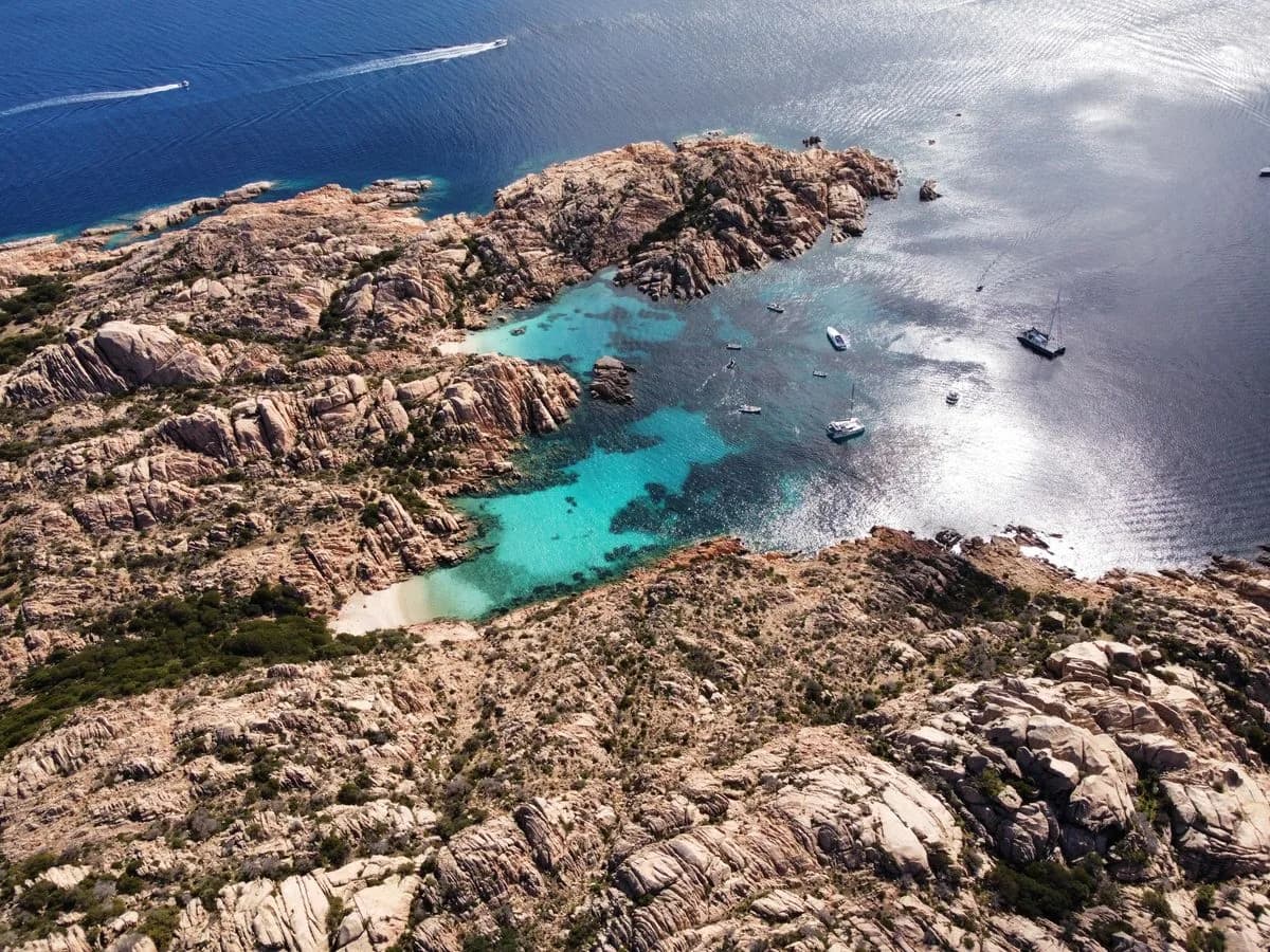
Long pale beach beside the Notteri lagoon near Villasimius.
Scenic peninsula beach north-east of Villasimius with seasonal access controls.
Practical south-east base with restaurants, beaches and marine-area departures.
Long beach-oriented resort coast suited to low-friction summer days.
Protected headland and marine landscape south of Villasimius.
A former penal colony whose buildings explain Castiadas’s settlement history.
A Sarrabus town associated with citrus growing and the lower Flumendosa valley.
A long sandy shore beside the lagoons and rural landscape south of Muravera.
A coastal lagoon within the Sarrabus wetlands, with habitat for waterbirds.
A sandy cove framed by granite and junipers below a coastal watchtower.
A broad sandy bay on the Castiadas coast between Villasimius and Costa Rei.
A small Castiadas bay beside the rounded volcanic hill that gives it its name.
Granite peaks and Mediterranean forest in the mountainous interior of south-east Sardinia.